
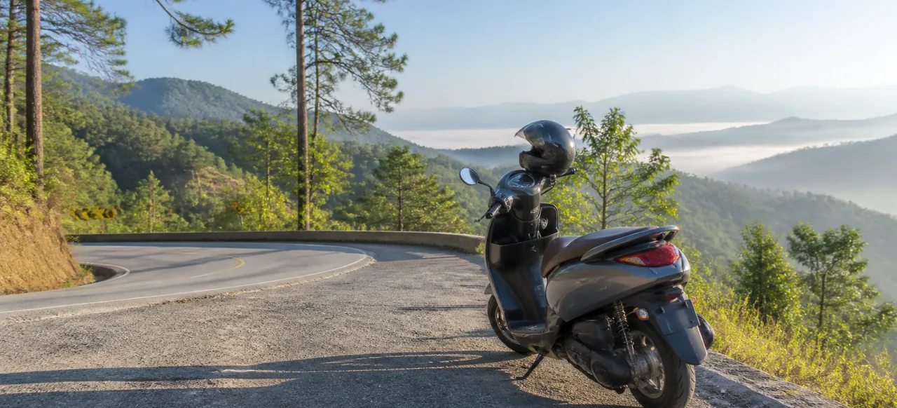
Ask riders in Chiang Mai where to go for a day out and most will give the same answer: the Samoeng Loop. This classic circuit leaves the city, follows the green Mae Sa Valley past waterfalls and gardens, climbs through pine forest to more than 1,100 metres and then winds back to town along a beautiful ridge road. The roads are paved the whole way, the turns are signposted and you can ride it at your own pace. This guide gives you a simple Samoeng Loop motorbike plan: the route, a sample timeline, the best stops and how to ride the mountain sections safely.
The Samoeng Loop at a Glance
- Distance: about 100 to 110 km from the Old City and back, depending on where you start and which detours you take.
- Moving time: around 2.5 to 3 hours. With stops, plan for a full day.
- Roads: paved two-lane roads all the way, with long climbs and many tight bends in the middle section.
- Highest point: a little over 1,100 metres, so it is noticeably cooler up top.
- Best for: riders who are already comfortable on a scooter. If you have never ridden before, build up with shorter city rides first.
The Route, Step by Step
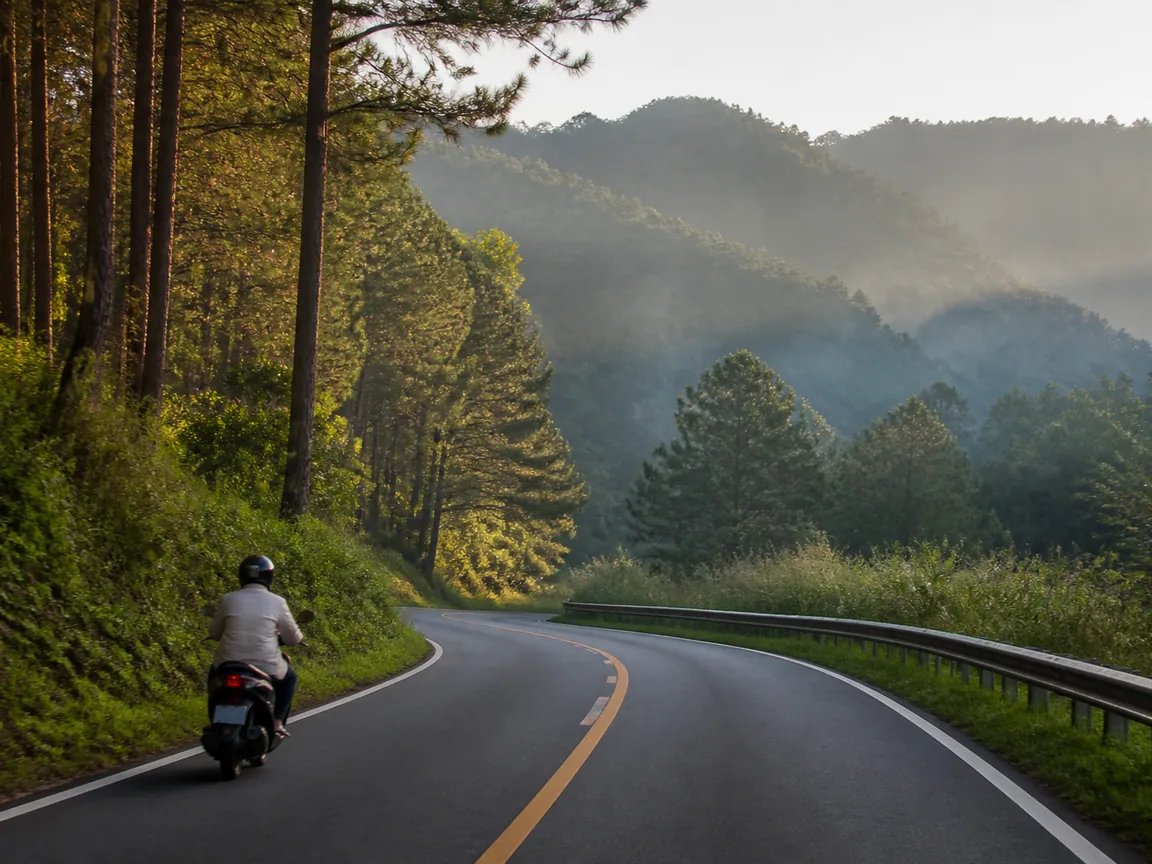
Most people ride the loop anticlockwise, which puts the busy valley in the morning and the long ridge road in the afternoon.
- Chiang Mai to Mae Rim (Route 107): head north out of the city on Route 107, a wide, busy road. Stay left and take it easy in the traffic.
- Mae Rim to Samoeng (Route 1096): at Mae Rim, turn left onto Route 1096 and follow the signs for Samoeng. The first part runs gently up the Mae Sa Valley, past orchid farms, cafés, Mae Sa Waterfall and Queen Sirikit Botanic Garden. After the garden the road starts to climb seriously through the forest.
- Samoeng to Hang Dong (Route 1269): near the top, Route 1096 meets Route 1269. Turn left to stay on the loop (or turn right for a short detour down to Samoeng town for lunch). Route 1269 follows a ridge with big views, then makes a long descent towards Hang Dong.
- Hang Dong back to Chiang Mai (Route 108): from Hang Dong, follow Route 108 north back into the city.
You can also ride it clockwise. It is the same road, just with the long climb on Route 1269 instead. Either way, a phone map with the route saved offline is a good back-up, as the signal can drop in the hills.
A Simple Day Trip Plan
- 8:00 Fill up the tank and leave the Old City heading north.
- 8:45 Turn onto Route 1096 at Mae Rim and ride into the Mae Sa Valley.
- 9:00 Stop at Mae Sa Waterfall for a walk along the cascades.
- 10:15 Visit Queen Sirikit Botanic Garden and its canopy walkway, or skip it if you want a shorter day.
- 11:30 Climb through the forest to the viewpoints near the top of the loop.
- 12:30 Lunch in or near Samoeng town.
- 14:00 Ride Route 1269 along the ridge and down towards Hang Dong.
- 16:00 Back in Chiang Mai, well before dark.
Starting early gives you cooler air, quieter roads and plenty of daylight to spare. Try to be off the mountain roads before sunset, as the bends are much harder to read in the dark.
The Best Stops on the Way
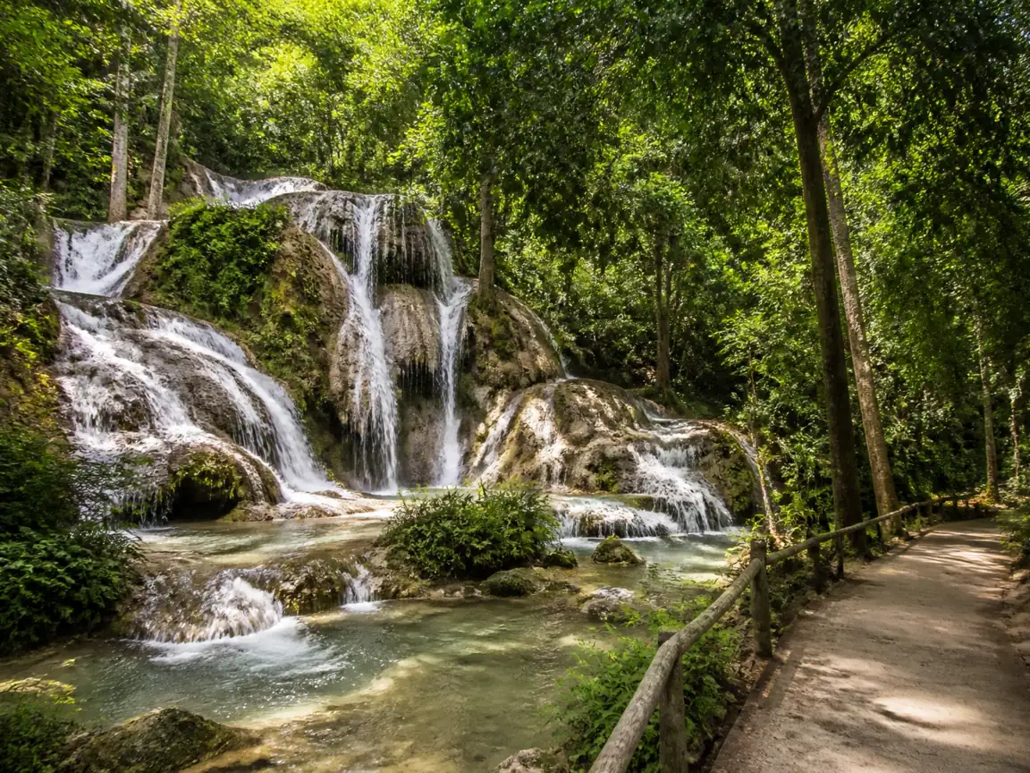
- Mae Sa Waterfall: a series of small cascades in a forest setting inside Doi Suthep-Pui National Park, right on Route 1096. There is a national park entrance fee, so bring cash. After heavy rain the park sometimes closes the waterfall for safety, so check that it is open before you plan your morning around it.
- Queen Sirikit Botanic Garden: a large hillside garden with glasshouses and a canopy walkway through the treetops. It can easily take a couple of hours, so decide in advance whether it is your main stop of the day.
- Forest viewpoints: near the highest part of the loop there are roadside pull-outs looking over ridge after ridge of forest. Pull fully off the road before you stop.
- Samoeng town and the strawberry farms: a small, relaxed town that makes a natural lunch stop. In the cool season (roughly December to February) you will also see strawberry farms selling fruit by the road.
- Cafés and orchid farms in the Mae Sa Valley: perfect for a coffee break on the way out or a cold drink on the way home.
Riding the Mountain Roads Safely
The Samoeng Loop is not difficult for a confident rider, but the middle section is a proper mountain road. A few simple habits make all the difference:
- Stay well left, especially on blind bends. Never cut corners, as cars and trucks often swing wide.
- Brake early and gently before each bend, using both brakes together. On long descents, ease off and let the scooter slow down rather than holding the brakes on all the way.
- Give a light tap on the horn before tight blind corners, as local riders do.
- Watch for gravel, wet patches and leaves, especially in shaded corners and after rain.
- Expect cyclists, slow trucks and tour vans in the Mae Sa Valley, particularly at weekends.
- Take breaks. Stop every hour or so, drink water and stretch. Tired riders make mistakes.
- Wear your helmet with the strap fastened, and make sure any passenger does too.
Riding outside the city also means passing police checkpoints from time to time. Our guide to motorbike laws in Chiang Mai for tourists explains exactly which licence and documents you need before you set off.
Fuel, Weather and What to Pack
- Fuel: fill up before you leave the city. There are petrol stations in Mae Rim, around Samoeng and towards Hang Dong, but there can be a long stretch of mountain road between them. If you are below half a tank in Samoeng, top up there.
- Weather: the cool season from about November to February is the most comfortable time to ride, with clear mornings and chilly air at the top. In the rainy season the forest is beautiful, but roads can be slippery and fog can roll in, so slow right down or wait for heavy rain to pass.
- Pack: a light jacket, sunscreen, sunglasses, water, cash in small notes for park fees and food, a charged phone and a simple rain poncho.
Which Scooter Should You Take?
A standard automatic scooter handles the Samoeng Loop well for one rider at a relaxed pace. If you are riding two-up or want a bit more power for the long climbs, ask us about a larger scooter. You can see the options in our scooter rental fleet in Chiang Mai. Planning several rides like this during your stay? Our guide to daily, weekly and monthly scooter rental in Chiang Mai will help you pick the plan that works best.
More Rides to Try
If you enjoy the Samoeng Loop, a shorter mountain ride is right on the city’s doorstep. Our guide to Doi Suthep by scooter covers the route up to Wat Phra That Doi Suthep, which makes a great half-day warm-up before you take on the full loop.
Ready to Ride the Loop?
Message us on LINE or WhatsApp with your dates and we will confirm availability and current rates. Pick up a serviced scooter with a clean helmet and a full tank at one of our scooter pickup points in Chiang Mai, in the Old City, at Chiang Mai Gate or near the Night Bazaar. New to renting here? Read how to rent a motorbike in Chiang Mai in 2026 first. Then start early, take the bends slowly and enjoy one of the best rides in northern Thailand. Ride safe!

[…] you’ve already ridden the Samoeng Loop or Doi Suthep by scooter, you’ll have a feel for Chiang Mai mountain riding. Pai is longer […]
[…] climbs gently through forested hills, with a few long curves. It’s far less twisty than the Samoeng Loop or the road up Doi Suthep. If you’re new to riding in Thailand, read our 10 rules for riding […]